
Whether you are a first-time visitor to Pittsburgh, or a daily commuter to Downtown, you have probably noticed various historical buildings and remnants intertwined with the modern landscape. Here is a brief summary of some of Downtown Pittsburgh’s historical locations that you pass by every day. There is Pittsburgh history everywhere that you look!
Fort Duquesne / Fort Pitt
The origins of Pittsburgh have been preserved in Point State Park, at the confluence of the Allegheny and Monongahela Rivers. Combining to form the Ohio River, this spot was of strategic importance in the 1750s for any nation wishing to control the interior of the North American continent. The French first laid claim to the area in 1754, and built a small fort, Fort Duquesne, at the river junction to control and monitor river traffic. Fort Duquesne stood to preserve their claim to the interior land, west of the English colonies. The outline of Fort Duquesne is preserved in concrete pathways on the river side of Point State Park, embedded in the lawn area.
After several clashes and defeats with British troops, the French abandoned and burned the fort and left the area. The British then took control of the “forks of the Ohio” and built a much larger, stronger fort on the site. Completed in 1761, Fort Pitt was actually slightly to the southwest of Fort Duquesne. The Fort was named after William Pitt the Elder, a well-known British politician. The fort stood until 1792.
Today, four of the five original Fort Pitt Bastions are recognizable in one way or another at Point State Park. The original outline of the “Music Bastion” can be seen imprinted on the Great Lawn on the city side of the park. Original bricks and walls of the Music Bastion were discovered in the 1960s and excavated at that time. The city side of the park was divided by the historical “dry moats”, dug out to the original ground level so that visitors could walk down and along the original remnants. In 2006, the park underwent major renovations, which included the controversial re-burying and filling in of the historical moats in order to provide a more open, flat area that could be used for various city events.
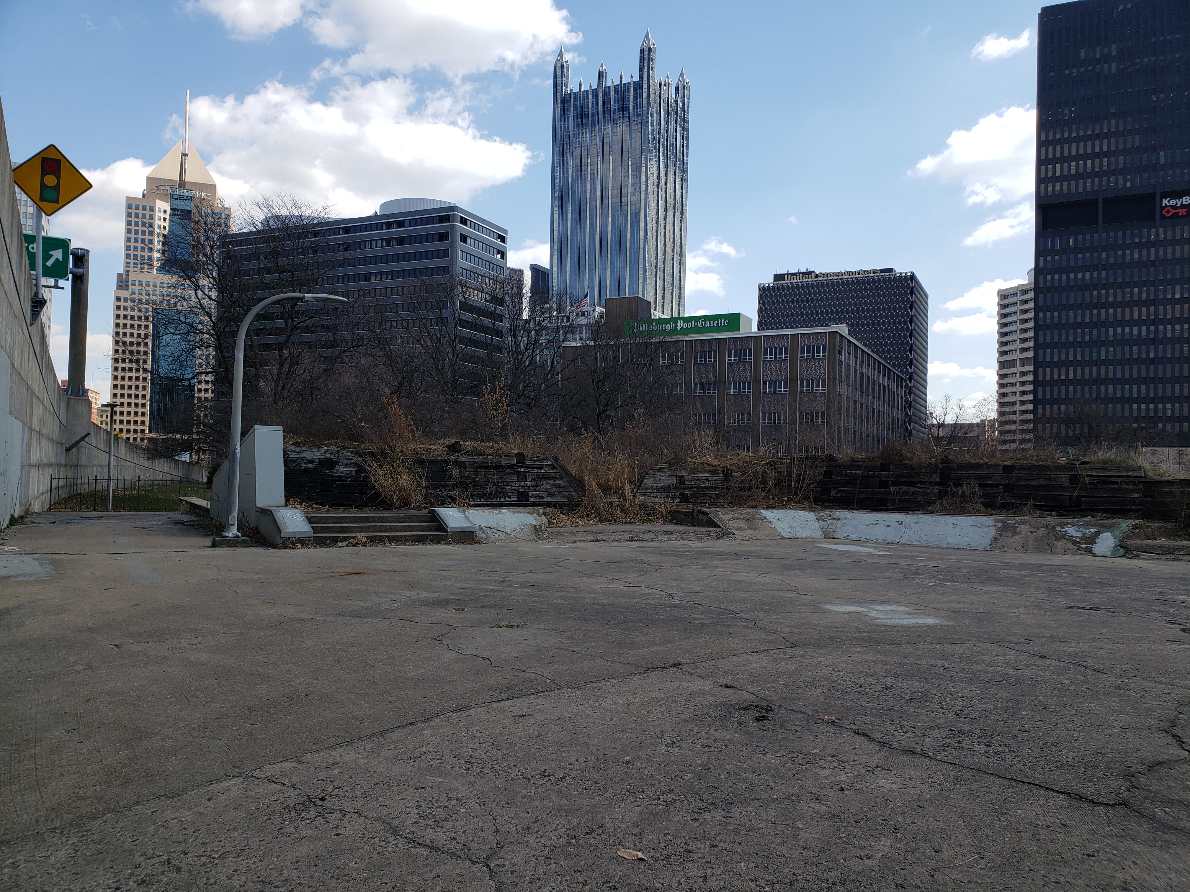
The “Monongahela Bastion” is currently the site of the Fort Pitt Museum. Just in front of the museum entrance, the outline of another bastion (the “Ohio” or “Lower”) can be seen imprinted in the pavement (in the area near the opening of the portal bridge.) Finally, the “Flag Bastion” still remains, hidden in plain sight adjacent to a parking lot and Point State Park maintenance building. This area of the park is not known to most visitors, but the pedestrian walkway / tunnel is known to locals as a shortcut along the Mon River, which also connects to the Mon Wharf. The Flag Bastion was originally built as a scenic overlook, but is currently in disrepair. This area can be accessed from the parking lot, or the Monongahela side of the museum. The spider web of Interstate Ramps around it detracts from the experience, but it still provides a sense of history for those who know what they have found.
Point State Park is also home to the Fort Pitt Blockhouse, which is the last such structure to survive from the days of Fort Pitt. The Blockhouse was constructed in 1764, one of many, as an outer two-level defense structure. Defenders could shoot through small gun slits in the walls. Due to careful restorations, is open for public tours today, and is a favorite field trip destination for local school children. It is the oldest structure in the City of Pittsburgh.
The Monongahela Wharf / Firstside Historic District
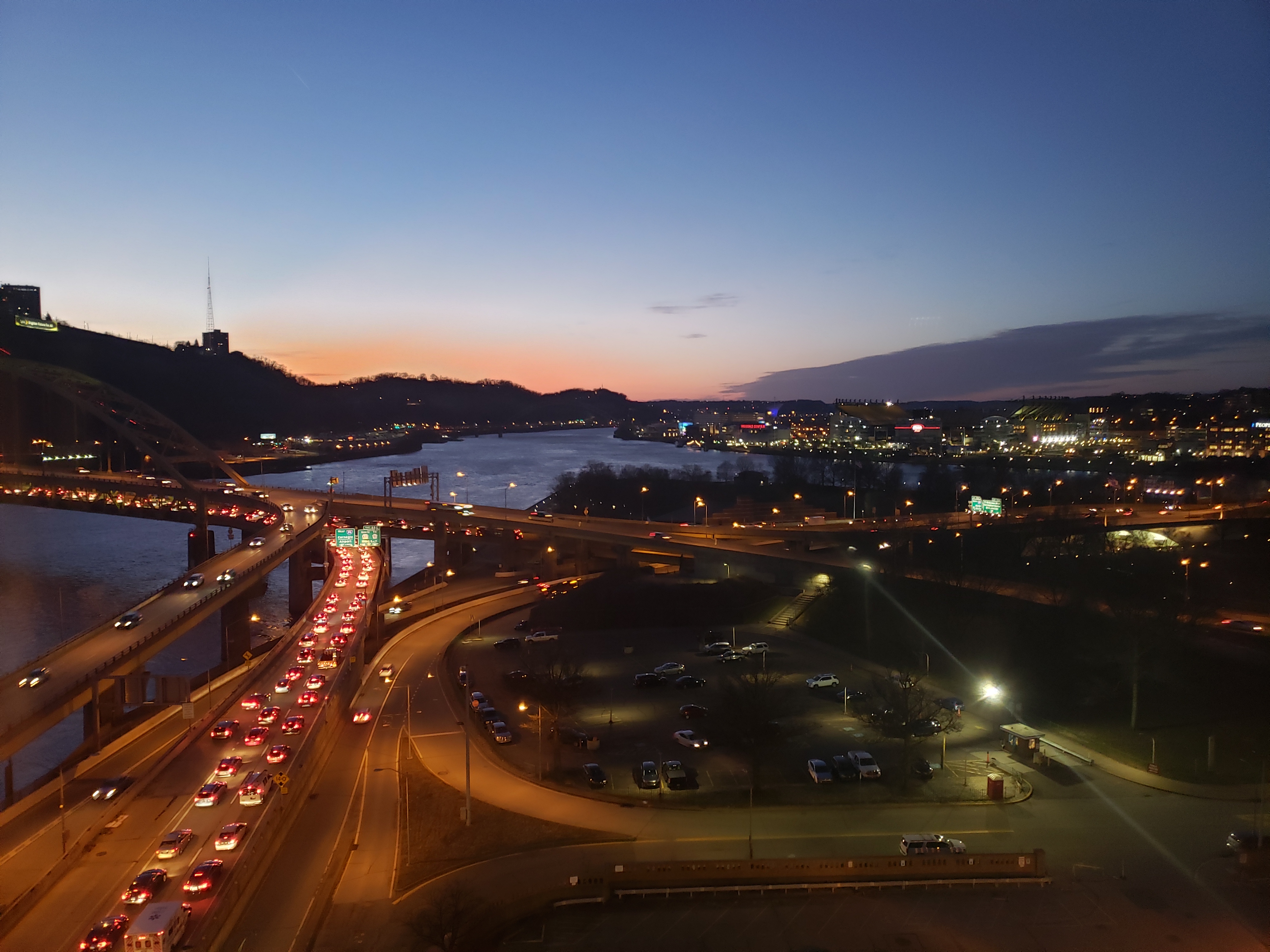
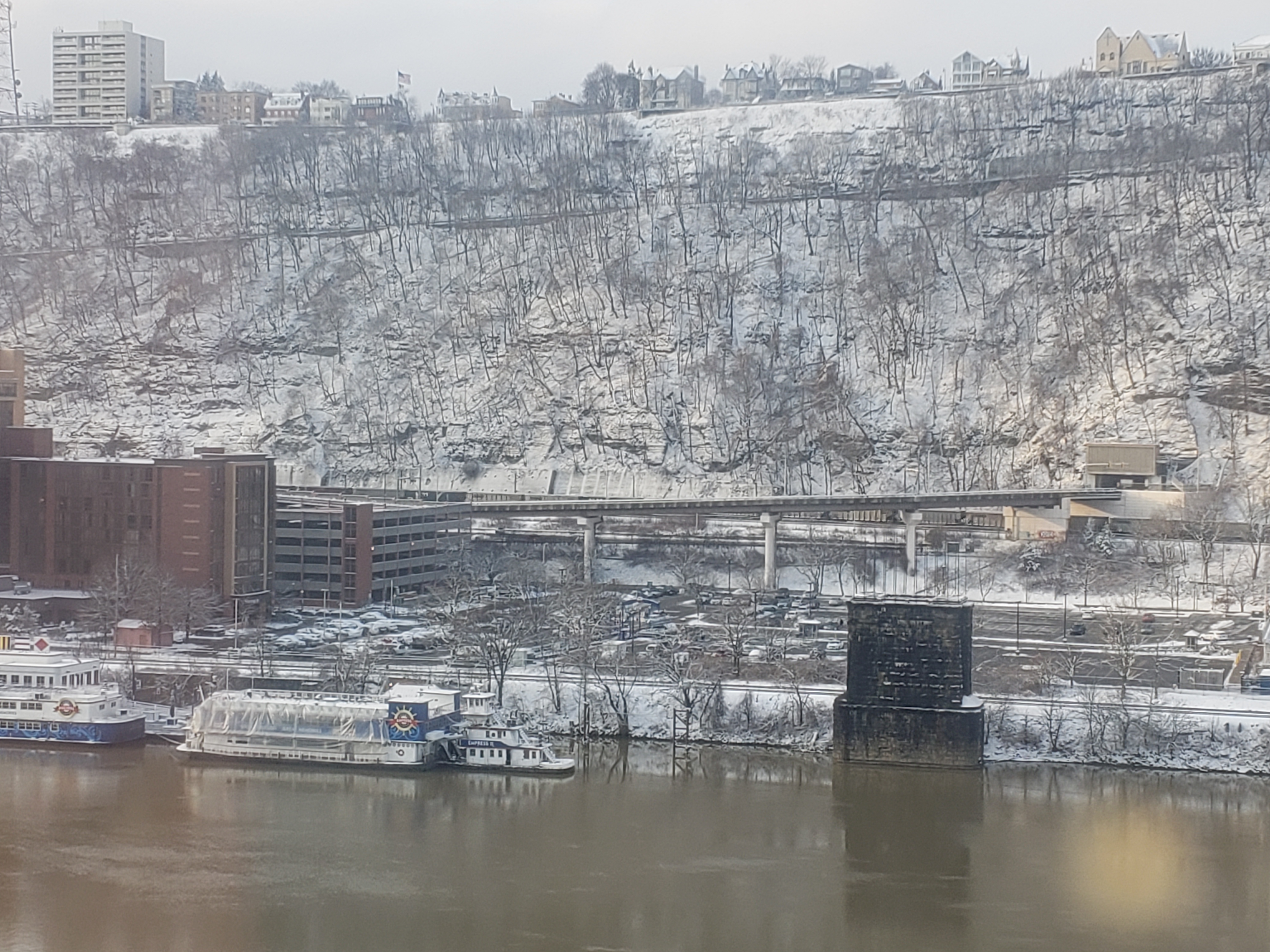
Today, the Mon Wharf is known as an expansive parking lot that closes a few times every year due to river flooding. The wharf lies below the city, adjacent to the Monongahela River and underneath I-376 Eastbound and Fort Pitt Boulevard. But this area originally looked much different in the 1800s and early 20th century.
At one time, the Monongahela Wharf was the center of river trade in Pittsburgh. It featured a gentle-sloping hill from the roadway above down into the river, allowing for ships to dock and unload to the warehouses above.
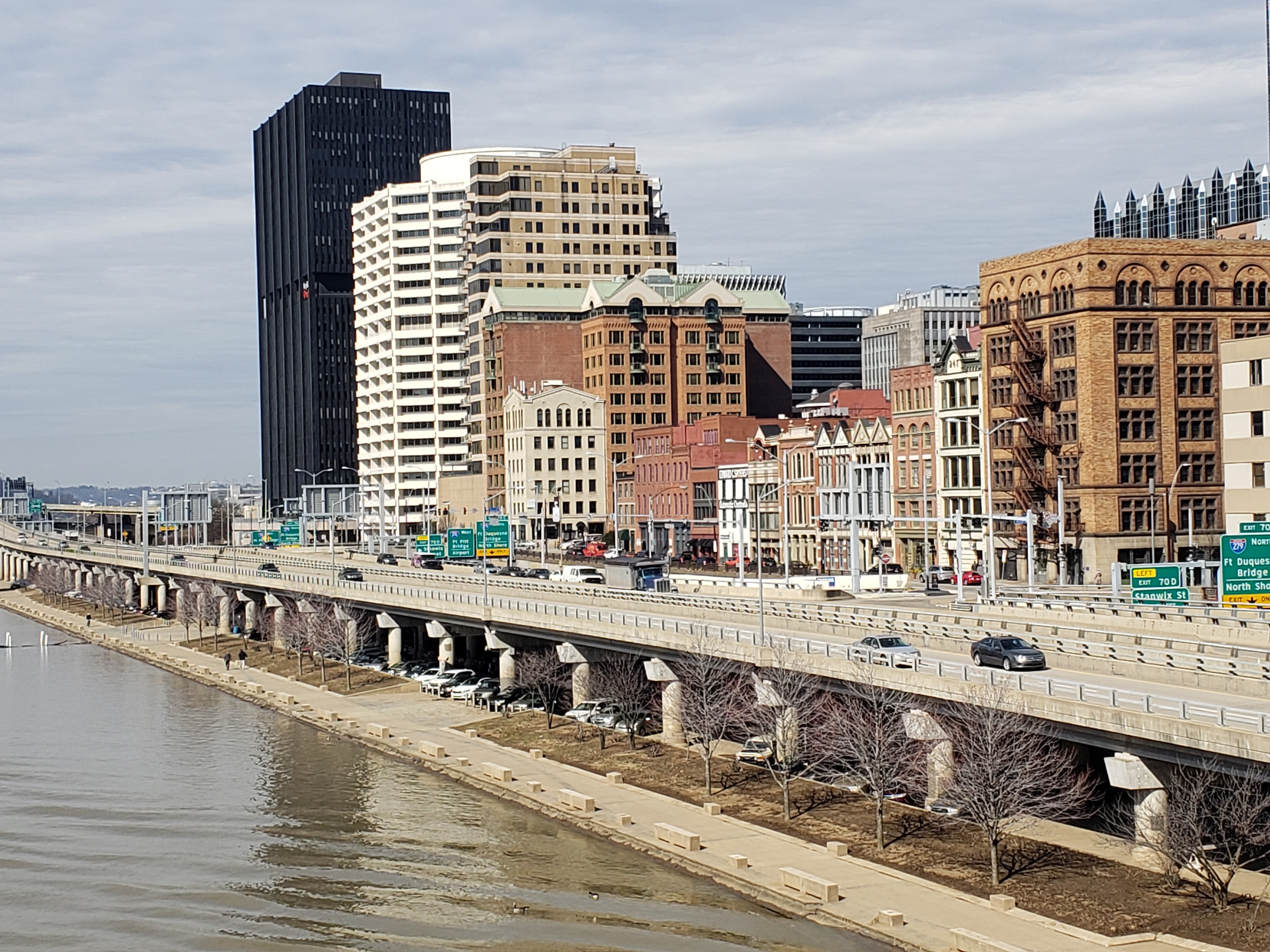
Many of the original structures from this time period still exist along Fort Pitt Boulevard and have been well preserved and restored. The “Firstside Historic District” looks remarkably similar as it was 150 years ago. The district is recorded on the National Register of Historic Places, and includes a dozen or so former warehouse and commercial use buildings – a hidden gem of Pittsburgh history!
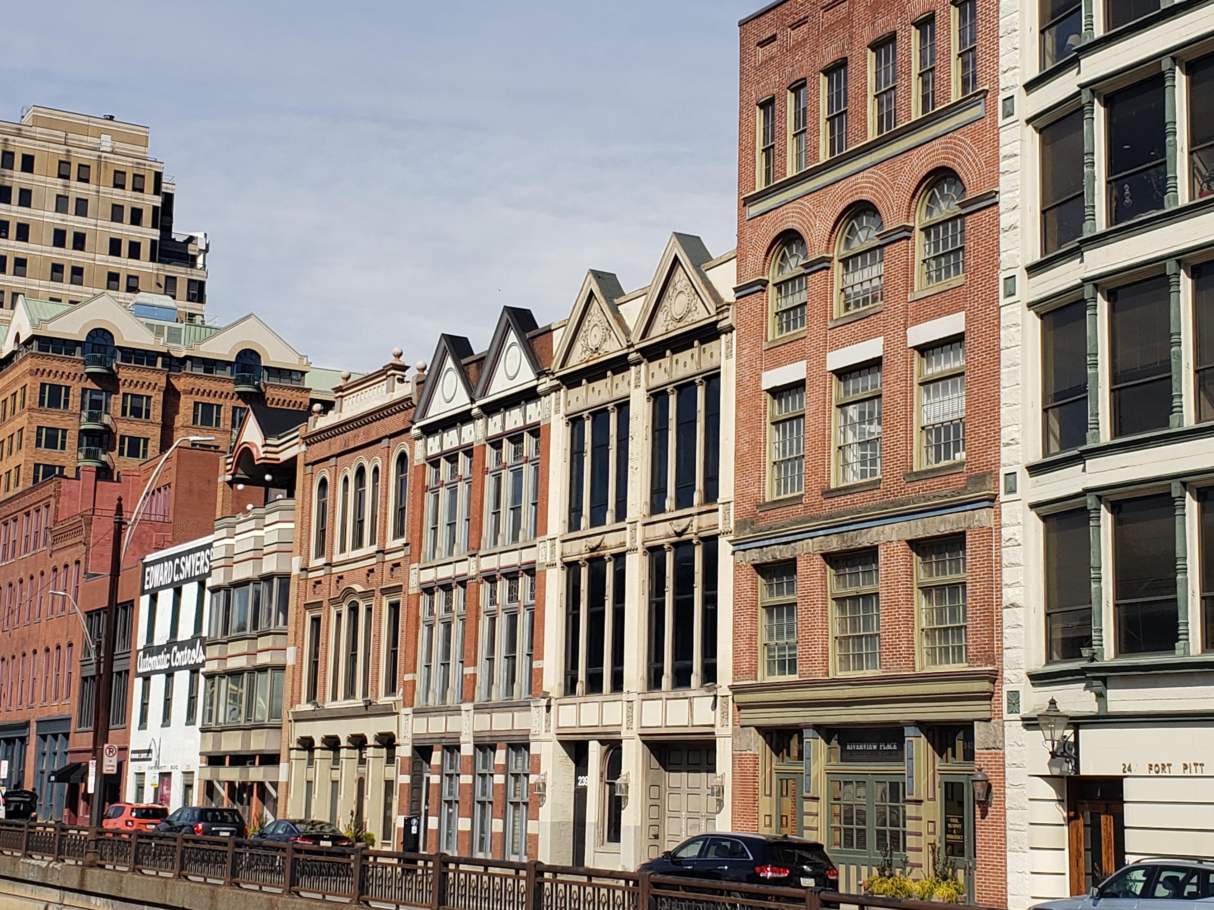
The buildings today are used in a variety of ways, from office buildings to lofts – this area has experienced the growth and renewal as the rest of Downtown, and has done so in a way to preserve the historical aspects of the district.
Old Bridge Piers
Pittsburgh has been called “the City of Bridges” for good reason. With the downtown area surrounded by water on three sides, bridges have provided much needed access for over a century. With the passage of time many of the early bridges are just memories now – well, almost. Two sets of piers remain within the Golden Triangle area, often overlooked, but standing as a testament to the industrial era gone by.
The Wabash Railroad piers are located on either side of the Monongahela River, in the vicinity of Station Square on the south side and the Mon Wharf on the Downtown side. Standing directly across from each other, they illustrate the original alignment of the Wabash Railroad Bridge that stood from 1904 to 1948. They are also in line with the Wabash Tunnel, which was built to fit only one rail track through Mt. Washington. Today, the Wabash Tunnel is used as a one-way, alternating direction short cut from Station Square to Route 51 on the southern side of Mt. Washington. Around 20 years ago there were studies to widen the tunnel and reconstruct the bridge, tying in at Stanwix Street, but these plans never materialized for multiple reasons. The tunnel then opened as a HOV facility, but due to lack of usage, it was open to single occupancy vehicles a few years later.
Another, more visible pier stands near the river gate of Heinz Field on the city’s North Shore. The Manchester Pier remains as a remnant of the Manchester Bridge (1915 – 1970), which connected the North Side to Downtown, near the fountain at Point State Park. This bridge was used in conjunction with the Point Bridge (1927 – 1970) that spanned over to Carson Street. With the opening of Heinz Field, this pier became very noticeable due to its location. It has since been renovated, with a hole carved through it, and stands as an artistic reminder of Pittsburgh’s industrial past.
Over the years, various projects have been planned for the piers including supporting the Skybus in the 1960s and serving as climbing walls for recreation in the early 2000s. These plans never came to fruition, but in time there will surely be new visions for them.
Additional resources:
- https://archive.triblive.com/news/the-citys-former-bridge-piers-are-reminders-of-a-time-gone-by/
- https://www.shorpy.com/Wabash-Bridge (Great old photo of the bridge).
Downtown Pittsburgh Churches
It is no surprise that the oldest churches in Pittsburgh lie within the Downtown area. However, their longevity stands in sharp contrast to the much modern buildings and structures that surround them. Their presence is a testament to the religious roots of Pittsburgh, and provide superb architectural examples of their era.
The oldest of the churches is Trinity Episcopal Cathedral on 6th Avenue, between Wood and Smithfield Streets. A fixture since 1872, the building itself is a prime example of Gothic architecture. At one time, it was the tallest building in the city. Original church buildings in the immediate area date back even further to the 1780s. The site initially was considered by Native Americans to be a sacred burial ground. Today, the churchyard is still the resting place of over a hundred diverse settlers and Native Americans.
Other historic churches in the area, all within walking distance, include The First Evangelical Lutheran Church, The First Presbyterian Church, and Smithfield United Church of Christ. These churches were built between 1888 and 1926. For more about Trinity Cathedral and these other Downtown churches, visit this article by the Pittsburgh History and Landmarks Foundation:
Allegheny Wharf
The Allegheny River side of Downtown once was home to its own wharf, similar to the Mon Wharf. It also featured a “beach” landscape with the land gently sloping down to the water. This area was used for access to the many industries that were situated along the river, but also for parking as well.
In fact, daily parking was still available along the much-smaller Allegheny Wharf up until January 19, 1996. By this point, the area was boxed in by the 10th Street Bypass, and Fort Duquesne Boulevard up above. Due to heavy rains and upstream snowmelt, a historic flood occurred over the weekend of January 19-21, 1996, followed by single digit temperatures and a rapid freeze-up. Daily commuters were taken by surprise by 5:00 on Friday, as their cars on the wharf were completely submerged. Over the weekend, a nearby barge broke loose, and found its way on top of dozens of even more unfortunate vehicles. By Monday, the flood waters had turned to ice, entombing the crushed vehicles and making cleanup difficult, and access impossible for the poor car owners.
After the flood, parking was a thing of the past, and the Allegheny Wharf soon after was designated as a park. The area today stands in between Point State Park and the Strip District, and is home to one of the area river trails that connect local communities.
For further reading, here is an article on the large metal rings that still exist on the walls along the Allegheny Wharf, a remnant of the industrial past:
ChinaTown
Many people do not realize that the city once had a bustling Chinese community, right in one corner of Downtown Pittsburgh. Chinatown was situated near Grant Street, near where the Boulevard of the Allies ramps up toward the Liberty Bridge. There are still a few buildings in the area from this era, and a few businesses that reflect back to this community, like the Chinatown Inn on Third Avenue.
Here is an excellent article about Chinatown, its Pittsburgh history, and decline:
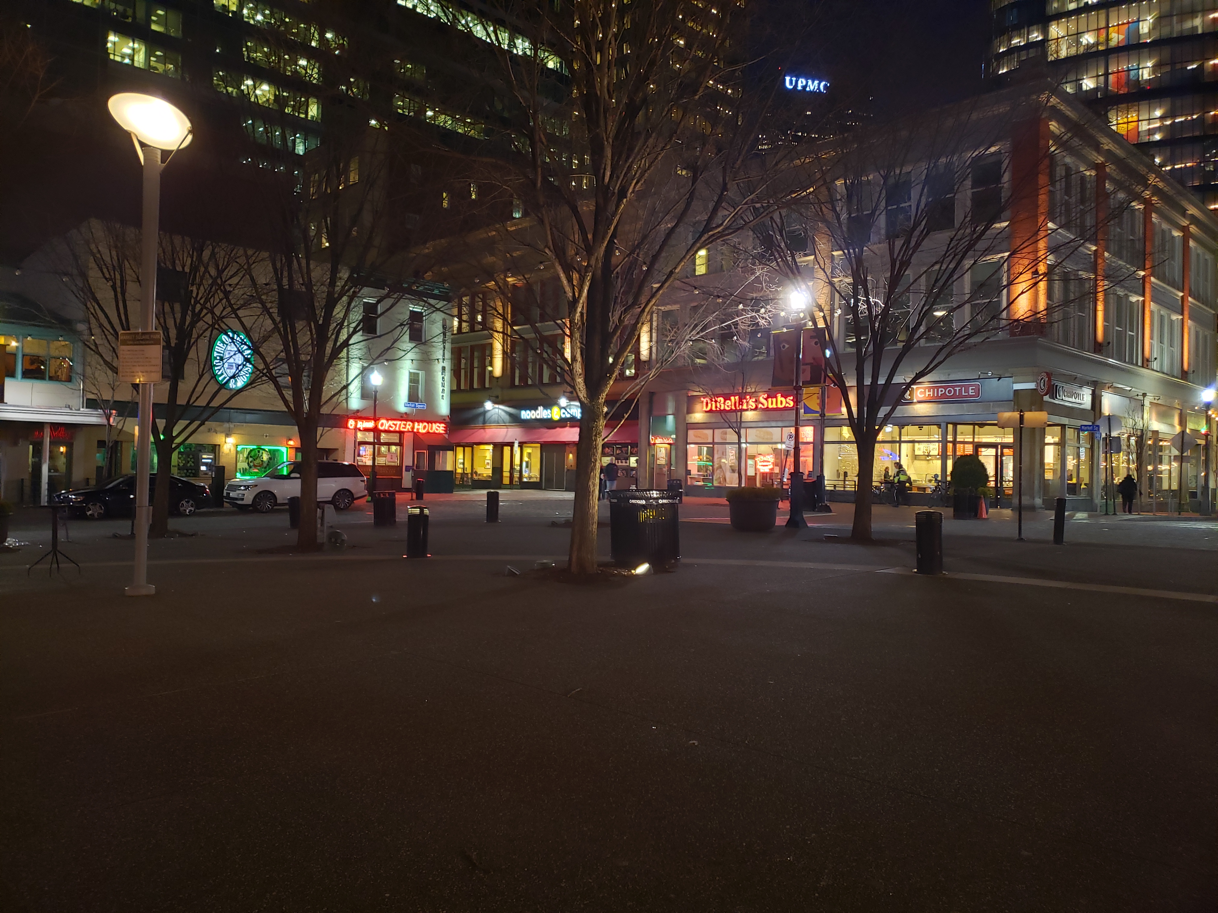
Market Square
In the center of Downtown Pittsburgh lies Market Square, an open public meeting place that is surrounded on its perimeter with restaurants, shops and vibrant businesses. There is always something going on here no matter the season. It is the perennial home of the Holiday Mart at Christmas and the Thursday Farmers’ Market during the summer. Concerts, rallies and other speaking events are routinely held in Market Square as well.
The Square has a unique history all its own. This area was designated as a public space (known as “the Diamond”) since the dawn of the city, back in 1784. Since then, buildings have come and gone, including courthouses and market houses, but the usage has remained relatively the same. Since the addition of PPG in 1984, the area has looked very close to how it looks today. The largest exception is that Forbes Avenue and Market Street still crisscrossed the square until 2009, when vehicles were prohibited in the inner square, thus opening up a larger public area.
Since the renovations in 2009, Market Square has seen a remarkable resurgence. Occupancy around the square is nearly at 100%, and the area has regained its prestige as the place to be for events, food and Downtown happenings.
Although Pittsburgh is a city of change and adaptation, there are plenty of reminders still around of its strategic and industrial past. Be sure to notice these and other historic landmarks as you go about your business in Downtown Pittsburgh.